
The 3D map for off‑piste and ski touring in the Alps
Lifts and pistes, slope angle and avalanche terrain (SLABS) on a 3D map, with your own routes on top. Today's avalanche danger is drawn on the slopes.
Terrain example
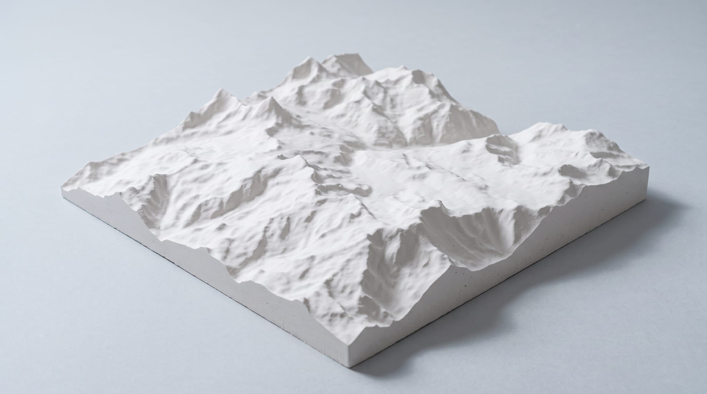
Real elevation data at true height.
Here is what one chunk looks like
The Grand Combin de Grafeneire, 5.3 × 3.8 km, exported from the map on 18 October 2026. Click it to turn it; the tabs switch the layers.
Lifts and touring terrain on one map
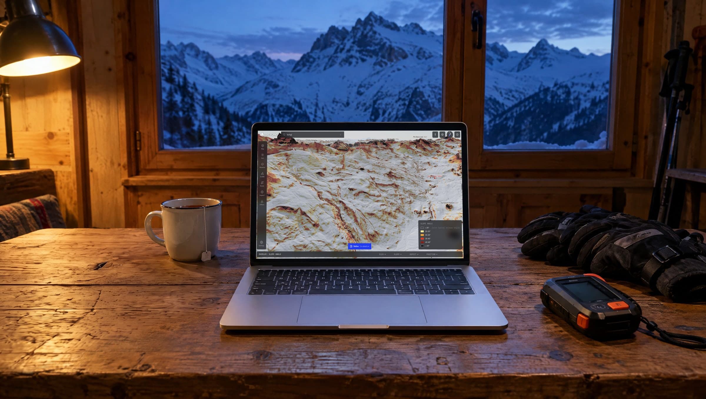
Lifts and pistes are drawn on the 3D terrain with the slope layer on top, so the top station, the face below it and the way back to a lift sit in one view.
Draw the skin track, read the tour time, the steepest section and the SLABS risk along the line, and download the area so the 3D map is in your pocket without a connection.
Verbier, St. Anton and Chamonix on one map, with today's avalanche danger from the European warning services drawn on the slopes, so you don't need a separate app per country.
Plan the route the night before
Switch on tomorrow's danger, draw the route, and see which sections cross slopes over 30° on the critical aspects. Then run the SLABS analysis for the area.
What the map doesn't know
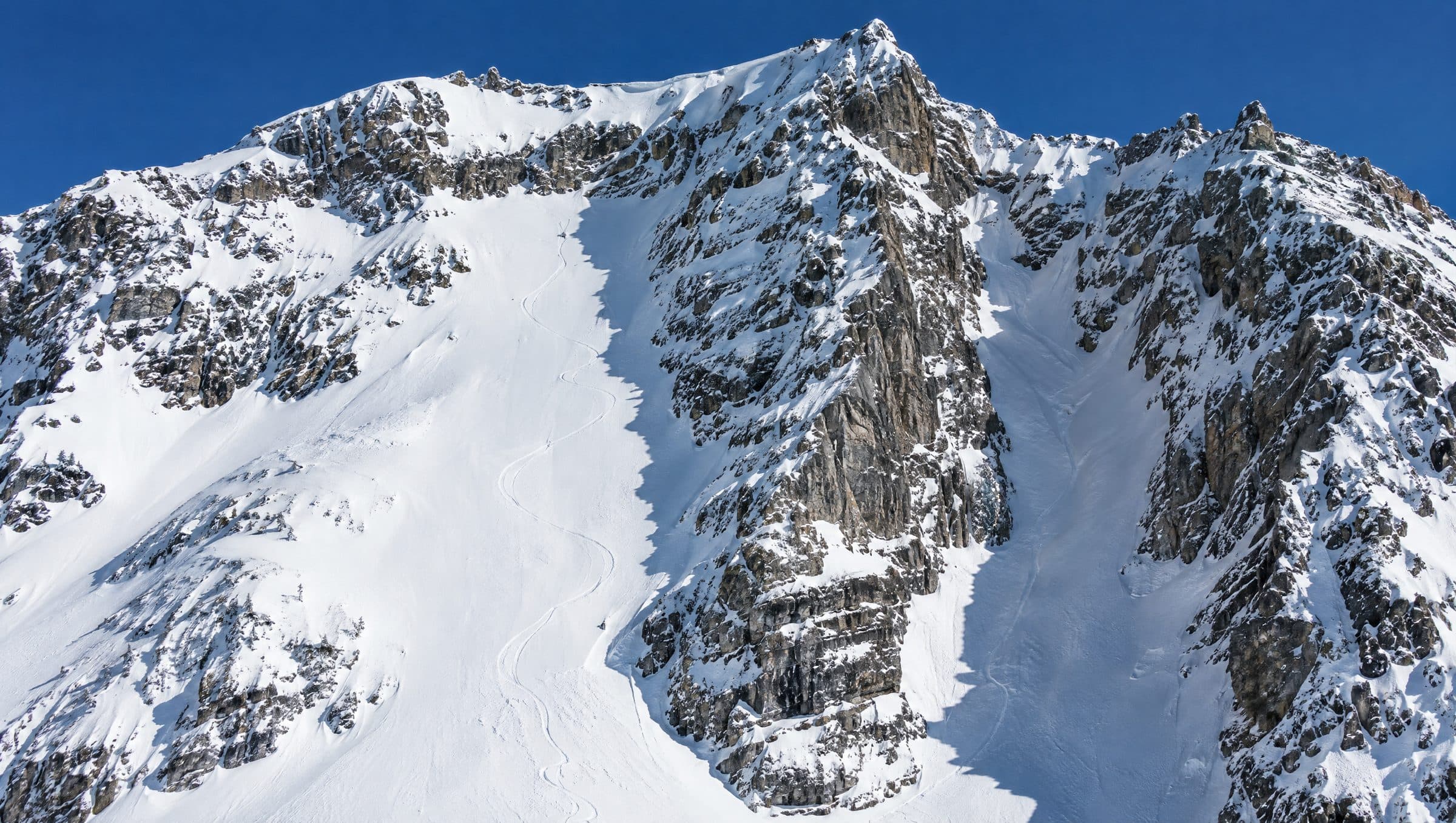
Slope angle comes from a 10 m elevation model, so cornices and small steps can be missing. SLABS has no runout model, the danger level covers a region, and wind loading and the snowpack itself are not on any map. What SLABS shows and what it doesn't.
For resorts
What we offer resortsYour lifts and pistes on the real terrain, with slope angle and the bulletin, on your own website. Pilot season 26/27, three resorts at cost.
What each layer shows, and what it doesn't
- 3D ski map
The Alps from Nice to Salzburg as 3D terrain, with lifts and pistes on it.
- Slope angle map
Five classes from 25° to over 45°, on 10 m terrain or 2 m on demand in CH, AT and FR.
- Avalanche danger map
Today's and tomorrow's danger from the European warning services, on the slopes.
- SLABS: what it shows and what it doesn't
The model, its four inputs, its data and its limits.
- Snow and weather
New snow, snowfall forecast, stations, webcams, forecast per point.
- Sun and shadow
The real sun on the terrain for any date and time.
- Protected areas
Wildlife rest zones and reserves, with their rules.
- Offline download
The area you ride as a 3D model for your phone, an HTML page and a map image.
- Route planner
Draw the skin track and the descent; tour times, the steepest section and SLABS along the line.
A note from the two of us
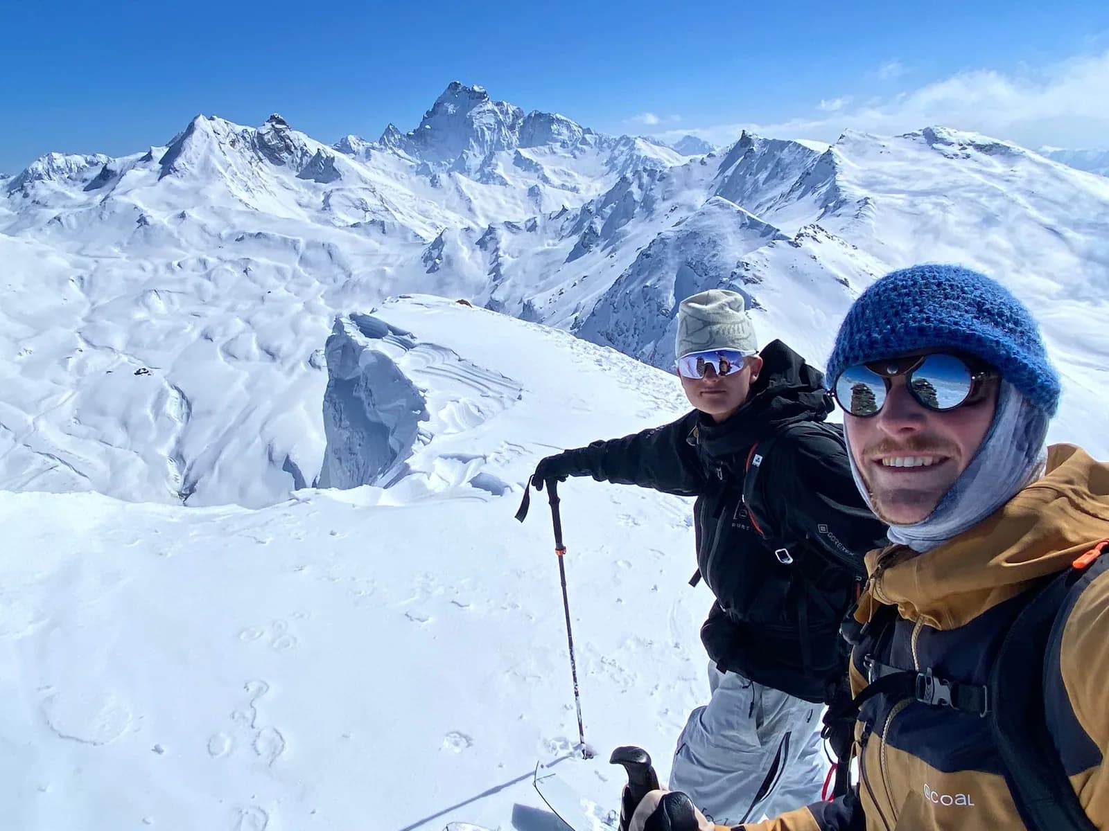
BEYOND is a passion project from two snowboarders who were bummed when FATMAP was shut down.
What we built here is a free tool for the community. What's in it so far is everything we use ourselves, so an overlay, an area or a feature you'd like to see may not be there yet. Tell us in the form below.
Because BEYOND is free, we can't promise to build everything. It stays free for riders, without a subscription. We pay for it by working with ski areas, regions and brands that want to help us build the platform, so we can keep making the product as good as we can.
And beyond the map, we want to build a community of winter sports enthusiasts who ride, plan and share: rate routes, share photos and routes, report conditions to each other, keep in touch, and have a place to learn and see what's going on.
Ziggy Triou · Luuk van der PoelWhat we are building next
- Sharing routesA link to send a friend.
- A place to learnSlope angle, aspect and the bulletin explained on the map itself, with the terrain you know.
- A community pageUpdates from us, your pictures and routes, and what the conditions are right now.
That is the list. For everything else we want to hear what you would use.
Tell us what you miss
A layer, an area, something that's wrong, or an idea. Everything lands with the two of us.
Questions about BEYOND
What is BEYOND Maps?
BEYOND Maps is a free 3D map of the Alps for off-piste skiing, snowboarding and ski touring, in the browser. It shows lifts and pistes, slope angle, aspect and sun and shadow on 3D terrain, with today's and tomorrow's avalanche danger from the European warning services drawn on the slopes. You can draw routes, get tour times, run a SLABS avalanche-terrain analysis for an area, and download the area you ride as a 3D model or HTML page, so the 3D map is in your pocket without a connection. The website adds bulletin pages per region for Switzerland, Tyrol and France. No account needed, nothing to install.
Is BEYOND free?
Yes. The map, all layers, routes, the SLABS analysis and the area download are free, and they stay free for riders: no subscription and no credit card. We pay for BEYOND through partnerships with ski areas, regions and brands.
Do I need an account?
No. The map works without an account. A free account saves your routes and markers, so they are there the next time you open the map. The bulletin pages and the guides on this website are open to everyone.
Which areas does it cover?
The map covers the Alps from Nice to Salzburg: 10 m terrain for Switzerland, Austria, France and Italy, 2 m on demand in Switzerland, Austria and France, and 30 m in the remaining gaps. The avalanche danger on the map comes from the European warning services. The bulletin pages on this website cover Switzerland (SLF), Tyrol (avalanche.report) and France (Météo-France).
Is the avalanche bulletin on the map?
Yes. The map shows today's and tomorrow's danger level from the European warning services, with the critical aspects and elevations drawn on the slopes, and you can open an archived date. Click a point to read the full bulletin there. This website adds bulletin pages per region for Switzerland, Tyrol and France, with a link to the original.
What does the SLABS analysis show?
SLABS is a statistical model published by Skitourenguru. It estimates where a skier is more likely to trigger a slab avalanche, from the steepest slope around a point and the bulletin's danger level, critical elevation and critical aspects. In BEYOND you run it for an area with today's conditions. It has no runout model and does not see the snowpack on your slope: see what SLABS shows and what it doesn't.
Does it work offline?
The map itself needs a connection. You can download an area of up to 16 × 16 km (6 × 6 km at high resolution) as a 3D model for iPhone (.usdz, with AR) or 3D apps (.glb), as an HTML page for any phone or as a map image with a scale bar, and use those without a connection: the 3D map of the area you ride, in your pocket.
Is BEYOND a FATMAP replacement?
Yes. BEYOND started as a FATMAP replacement for the Alps and became what we hoped FATMAP would become: 3D terrain with lifts and slope angle, the avalanche danger drawn on the slopes, a SLABS analysis for an area, and your own routes, free, in the browser. It covers the Alps only and has no native app. Our comparison of FATMAP alternatives lists the other options, with sources and dates.